top of page
SUISPLU Tool
Swiss Urban Information System for Parsimonious Land Use Tool
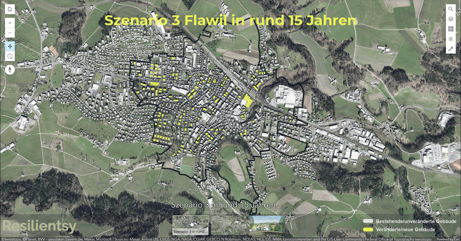
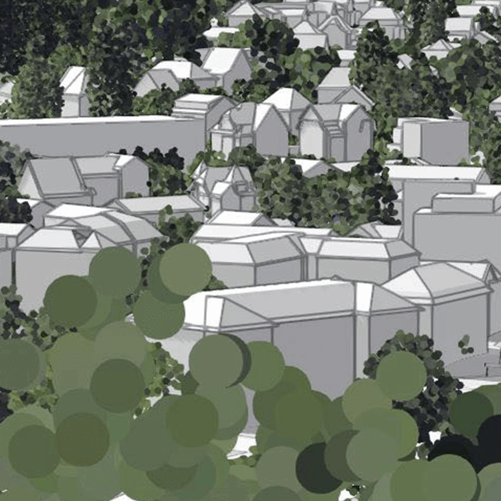
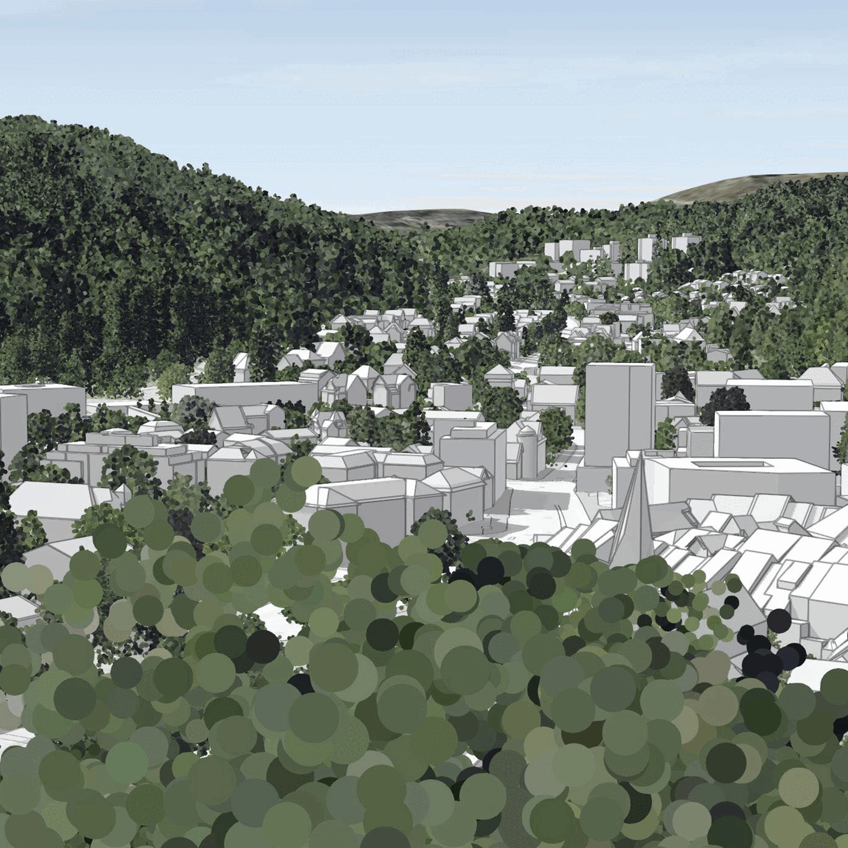
Our tool, visualized with ArcGIS 4D, revolutionizes decision-making in spatial and real estate development through simulations and data-driven analyses. It provides a comprehensive platform for creating well-founded arguments for density potential assessment and spatial planning interest balancing.
Simulations for data-driven decision-making
Our tool enables simulations based on precise data, allowing for well-informed decisions regarding spatial and real estate development.
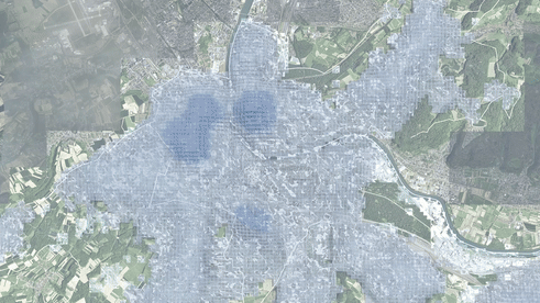
Analysis of density potentials
By analyzing areas within a 500-meter radius—which corresponds to a 10-minute neighborhood—density potentials are identified.
Ortsplanung in Szenarien
Innenentwicklungs-
potenziale
Dichteanalysen
SUISPLU Tool
Swiss Urban Information System for Parsimonious Land Use Tool


bottom of page